Predicting Largescale Wildland Fire Events
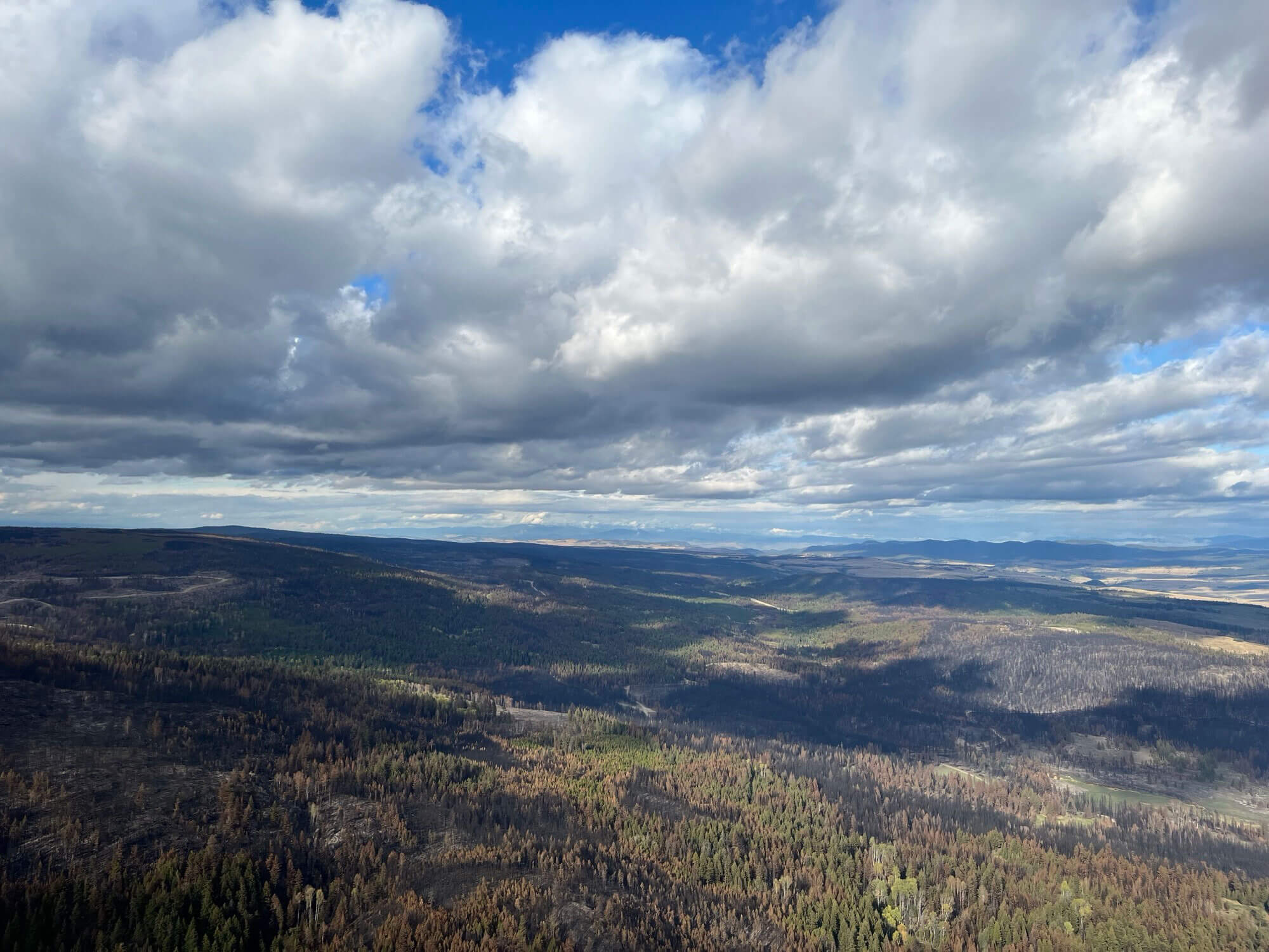
Climate change is associated with increasing climate variability and extreme weather events. In some areas, that is leading to an upsurge in extreme wildfires, primarily driven by extreme fire weather conditions. The boreal forest regions of Canada and Alaska are among those areas projected to experience substantial increases in both the area burned by wildland fire and wildland fire intensity. At the same time, the wildland urban interface is expanding, increasing the areas where active wildfire suppression is required. The result is mounting pressure that threatens to overwhelm fire management agencies, many of which are already grappling with soaring costs and workloads.
This study employs emerging technologies to develop a predictive framework for largescale wildland fire events. At large spatial scales and relatively short temporal scales, such events often cluster in response to extreme weather events, rather than occurring randomly. Reliably predicting these event locations would provide valuable information to support resource allocation, risk management, and proactive prevention measures.
Many attempts to predict wildland fires use model frameworks that are inherently spatially agnostic. Such models cannot consider spatial context when making predictions. This study proposes a deep convolutional neural network (CNN) model that can capture both localized and overarching spatial and temporal patterns. The CNN is enhanced by attention mechanisms that help detect variable importance and interactions at varying spatial scales, bolstering model contextualization.
Researchers
Principal investigators
- Dr. Mike Flannigan, BC Innovation Research Chair in Predictive Services, Emergency Management and Fire Science (Faculty of Science)
Students
- Jackie Oliver, MScEnvs (Faculty of Science)
Publications and presentations
Erni, S., Wang, X., Swystun, T., Taylor, S. W., Parisien, M.-A., Robinne, F.-N., Eddy, B., Oliver, J., Armitage, B., & Flannigan, M. (2023). Mapping Wildfire Risk to Canadian Communities.
Johnston, L., Wang, X., Erni, S., Taylor, S. W., McFayden, C., Oliver, J., Stockdale, C., Christianson, A., Boulanger, Y., Gauthier, S., Arseneault, D., Wotton, M., Parisien, M.-A., & Flannigan, M. (2020). Wildland fire risk research in Canada. Environmental Reviews, 28, 1-23.
Oliver, J., Pivot, F., Tan, Q., Cantin, A., Wooster, M., & Johnston, J. (2022). A Machine Learning Approach to Waterbody Segmentation in Thermal Infrared Imagery in Support of Tactical Wildfire Mapping. Remote Sensing, 14, 2262.
Tepley, A., Parisien, M.-A., Wang, X., Oliver, J., & Flannigan, M. (2022). Wildfire evacuation patterns and syndromes across Canada's forested regions. Ecosphere, 13.
Wang, X., Oliver, J., Swystun, T., Hanes, C., Erni, S., & Flannigan, M. (2023). Critical fire weather conditions during active fire spread days in Canada. Science of The Total Environment, 869, 161831.
Wang, X., Swystun, T., Oliver, J., & Flannigan, M. (2021). One extreme fire weather event determines the extent and frequency of wildland fires. Environmental Research Letters, 16.